News | July 1, 2006
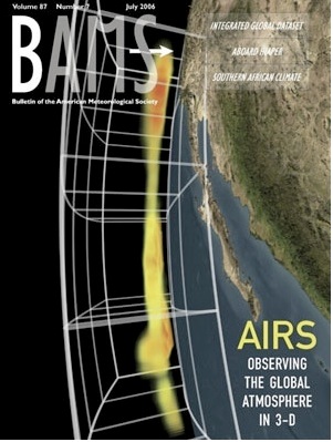
AIRS on the cover of the Bulletin of the American Meteorological Society
The paper titled "AIRS: Improving Weather Forecasting and Providing New Data on Greenhouse Gases" was published in the July issue of BAMS, the Bulletin of the American Meteorological Society. The paper describes how AIRS data has improved forecast skill, and how it's being used in research.
The cover image shows an AIRS snapshot of water vapor as a storm approaches the California coast on January 1, 2003. A broad minimum over the deserts of Baja California separates moist areas in the temperate north and tropical south. Blue denotes low water vapor content; green medium and red areas signify high water vapor content. The vertical grid ranges from 250 millibar pressure at the top to 1000 millibar pressure at the bottom.
This image is one frame of an animation created by the Scientific Visualization Studio at NASA/Goddard Space Flight Center.