News | September 27, 2024
NASA's AIRS Instrument Captures Hurricane Helene

NASA's Atmospheric Infrared Sounder (AIRS) captured the infrared image above of Hurricane Helene on Friday, Sept. 27, 2024, at 3:47 a.m. local time, nearly five hours after it made landfall on the Florida coast. One of the largest storms to develop in the Gulf of Mexico in the last century, Helene made landfall as a Category 4 hurricane in the Big Bend area on Sept. 26, at about 11:10 p.m.
The figure below was taken on Sept. 26 ,1:41 p.m., in visible wavelengths by the Visible/Near-Infrared spectrometer that is included with AIRS instrument suite on NASA's Aqua satellite.

An animation is shown below of the infrared data showing the storm's progress from Sept. 21 to the morning of Sept. 27. It also shows Hurricane John developing off Mexico's southwest coast.
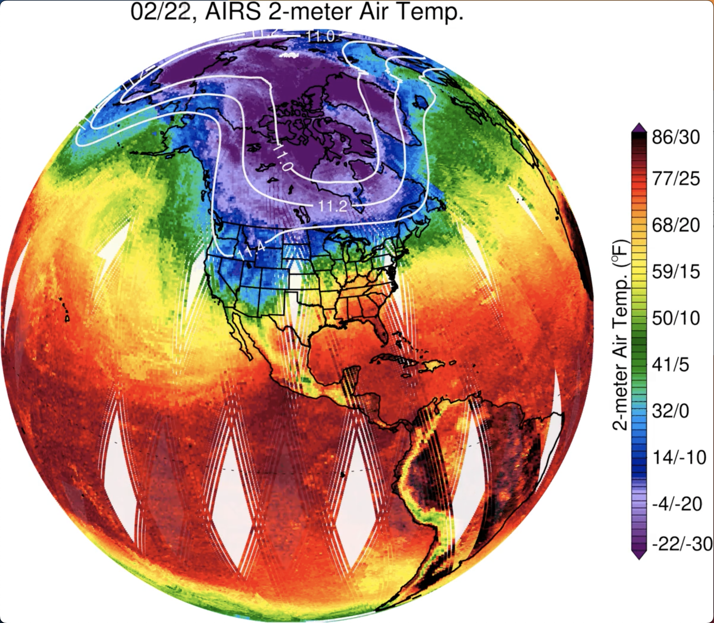
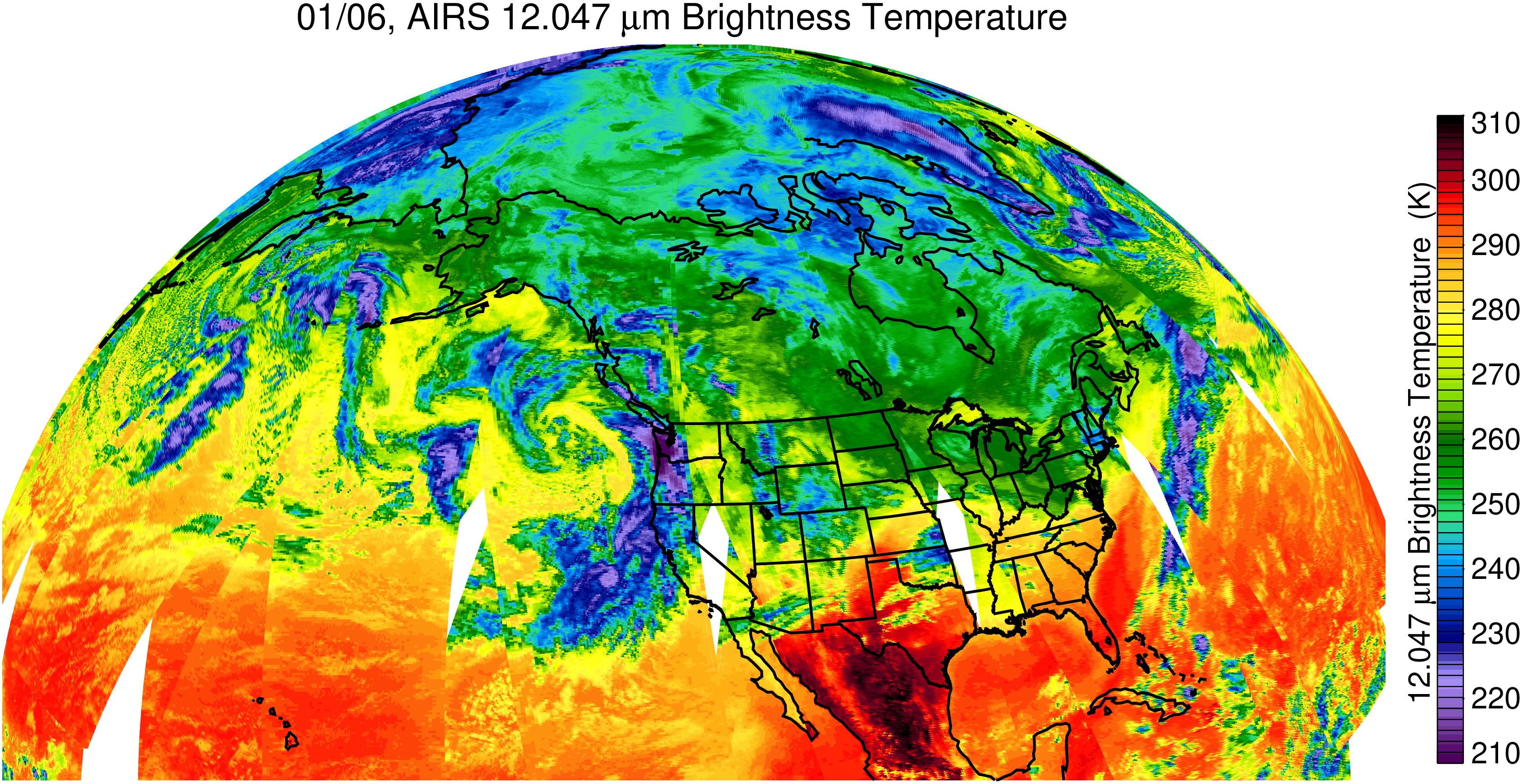
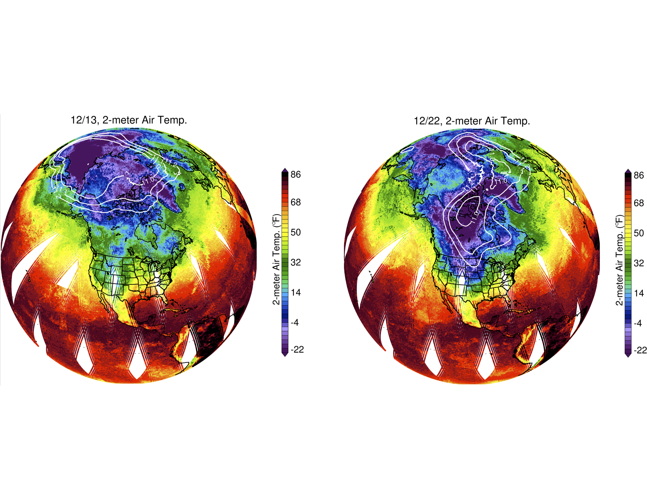
In the infrared images, the large purple areas indicate very cold clouds carried high into the atmosphere by deep thunderstorms and associated with heavy rainfall. Warmer areas with shallower rain clouds are shown in blue and green. The orange and red areas represent mostly cloud-free air. The eye of the hurricane can be seen as a small blue dot in the middle of the large purple patch.
AIRS, in conjunction with the Advanced Microwave Sounding Unit (AMSU), senses emitted infrared and microwave radiation from Earth to provide a 3D look at Earth's weather and climate. Working in tandem, the two instruments make simultaneous observations down to Earth's surface. With more than 2,000 channels sensing different regions of the atmosphere, the system creates a global, 3D map of atmospheric temperature and humidity, cloud amounts and heights, greenhouse gas concentrations and many other atmospheric phenomena. Launched into Earth orbit in 2002, the AIRS and AMSU instruments fly onboard NASA's Aqua spacecraft and are managed by NASA's Jet Propulsion Laboratory in Southern California under contract to NASA. JPL is a division of the Caltech.
The images and animation are also available in JPL's photojournal: https://photojournal.jpl.nasa.gov/catalog/PIA26413